Abstract
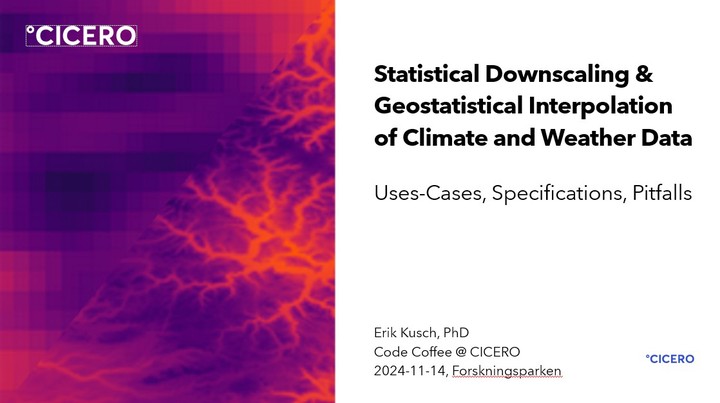
Climate data rarely is available at the spatial resolutions relevant to most downstream analyses. To remedy such mismatches one must engage with data interpolation/downscaling. Here, I give a high-level overview of available downscaling methdology and make recommendations for which ones to use under specific considerations.
Date
2024-11-14 15:00 — 16:00
Event
CICERO Code Coffee
Location
Oslo, Norway